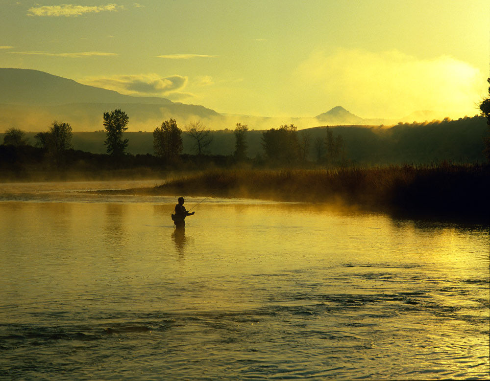
River otters, Rocky Mountain elk, mule deer, Rocky Mountain bighorn sheep, beavers, Bald Eagles, Magpies, and Brown Trout in the Flaming Gorge National Recreation area.
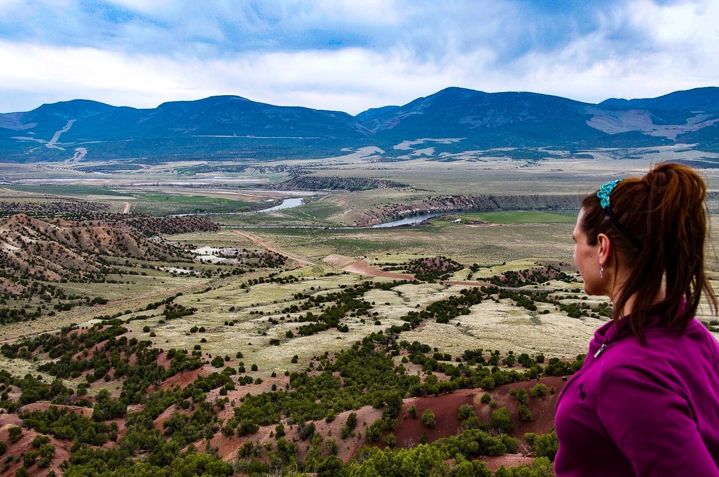
Departing from Diamond Mountain Plateau on the Jones Hole Scenic Backway, this graded dirt route travels north across Diamond Mountain, down Crouse Canyon, and into Browns Park. Flanked by daunting vertical cliffs with pinyon and juniper-covered side hills, the road through Crouse Canyon is breathtaking. It is not hard to travel back in time and imagine the desperate outlaws who used this frontier trail in and out of the sanctity of Browns Park.
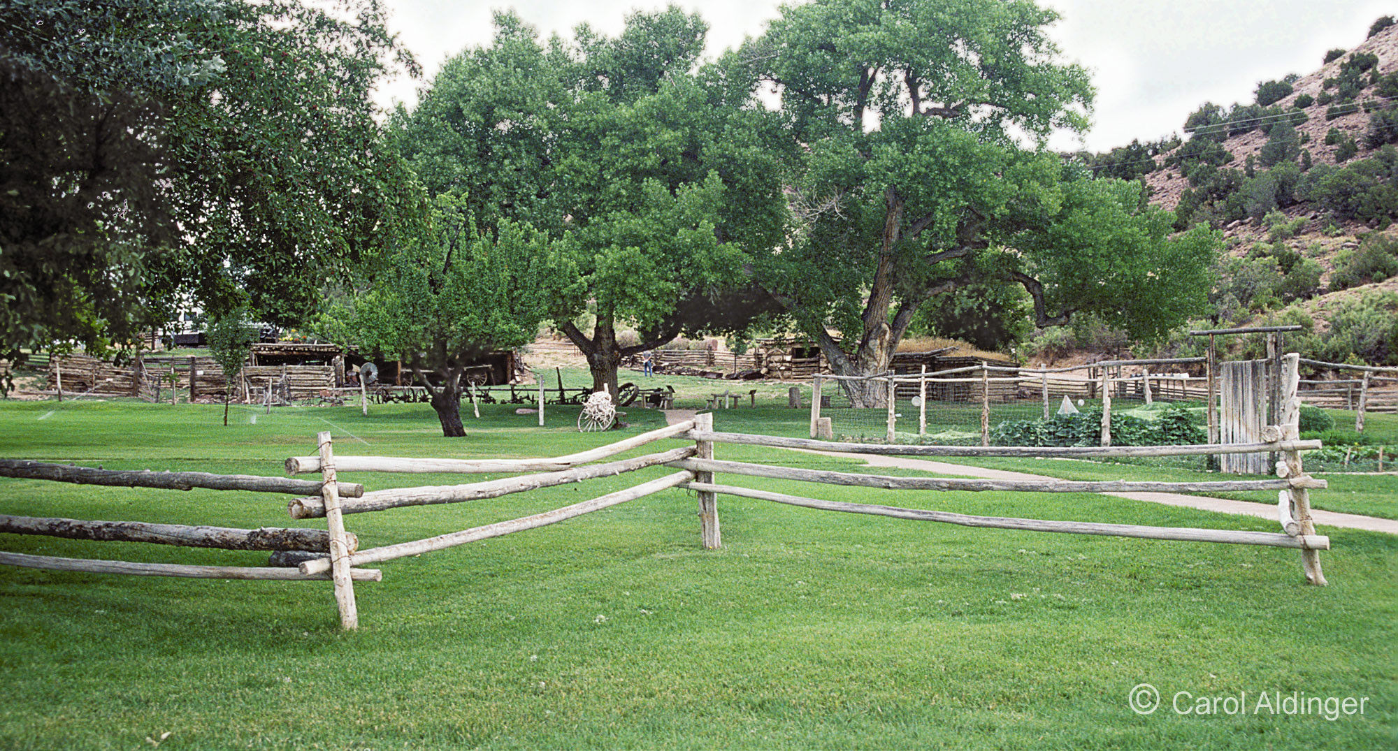
The backway continues into Colorado, crossing the Green River via a one-vehicle-at-a-time suspension bridge. A short side trip takes you to the John Jarvie Historic Site, a well-preserved remnant of the frontier west. Before ending at US 191 five miles north of Dutch John, the backway passes through the narrow and winding Jessie Ewing Canyon. The southern part of this route is closed in winter months and should not be traveled during the heavy rain.
Time to Allow 2 hours
Route Length 50 miles
Season Spring through Fall (Do not attempt the southern part in heavy rain or winter)
Points of Interest John Jarvie Historical Site, Browns Park National Wildlife Refuge